18
0
Support the library.
Your support helps keep books free for everyone ❤️
📍 Noticed
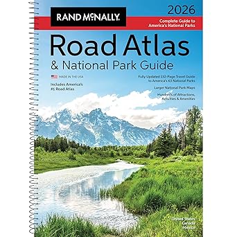
Rand McNally Road Atlas & National Park Guide 2026: United States, Canada, Mexico
by Rand McNally
Sponsored
Synopsis
Rand McNally 2026 Road Atlas & National Park Guide
The only atlas that is updated annually!
This all-in-one travel planning guide, designed and printed in the USA, is the only atlas highlighting the extraordinary beauty of every one of America’s 63 national parks while providing travelers with ...
The only atlas that is updated annually!
This all-in-one travel planning guide, designed and printed in the USA, is the only atlas highlighting the extraordinary beauty of every one of America’s 63 national parks while providing travelers with ...
Rand McNally 2026 Road Atlas & National Park Guide
The only atlas that is updated annually!
This all-in-one travel planning guide, designed and printed in the USA, is the only atlas highlighting the extraordinary beauty of every one of America’s 63 national parks while providing travelers with the trusted routing and points of interest tools they’ve relied on for generations. This new edition features a complete 2026 Rand McNally Road Atlas featuring the most up-to-date maps, more detailed city inset maps, and more travel planning information than the competitors, which is why it’s been the essential, trusted tool for road travelers for more than 120 years.
Why Choose Rand McNally Over the Competition?
Complete National Park Coverage
We feature all 63 U.S. national parks—the competition includes only 24.
Unmatched Park Detail
133 pages devoted exclusively to national parks vs. just 14 pages in theirs.
Better National Park Maps
Detailed Park maps and points of interest are 20-125% larger for easy reading and greater detail.
2–4 Full Pages per National Park
We provide 2–4 full pages per park vs. their ½ page—200%–700% more content.
Vivid, Inspiring Photography
379 full-color photos—820% more than their 46 images.
Bigger, More Comprehensive Atlas
274 total pages compared to 169 in theirs (62% more).
Expertly Crafted Maps
Created by our USA based, in-house cartographic team vs. outsourced to 3rd parties by competitors.
Made in the USA
Printed in the United States, while theirs are printed in Canada.
Always Up-to-Date
Updated annually vs. every 2–3 years or more.
Larger, More Readable Maps
State maps are up to 69% larger for easier navigation and planning.
More City Inset Maps
378 detailed city insets vs. 345—nearly 10% more.
Easier on the Eyes
Clean white backgrounds and vibrant, user-friendly color palette vs. darker, less readable designs.
Updated, Accurate Location Names
Reflects the latest naming standards from the U.S. Board on Geographic Names and the Department of the Interior – ensuring the most accurate, reliable information, while others do not.
Product Details
ISBN: 0528029320
UPC: 070609029320
EAN: 9780528029325
Dimensions: 10.875” x 15.3125”
Page Count: 274
Paperback
Spiral Binding
SRP: $ 37.99
You May Also Like

Didion and Babitz
Lili Anolik

Found in a Bookshop
Stephanie Butland

Kingdom of Water: A Graphic Novel (The Rema Chronicles #2)
Amy Kim
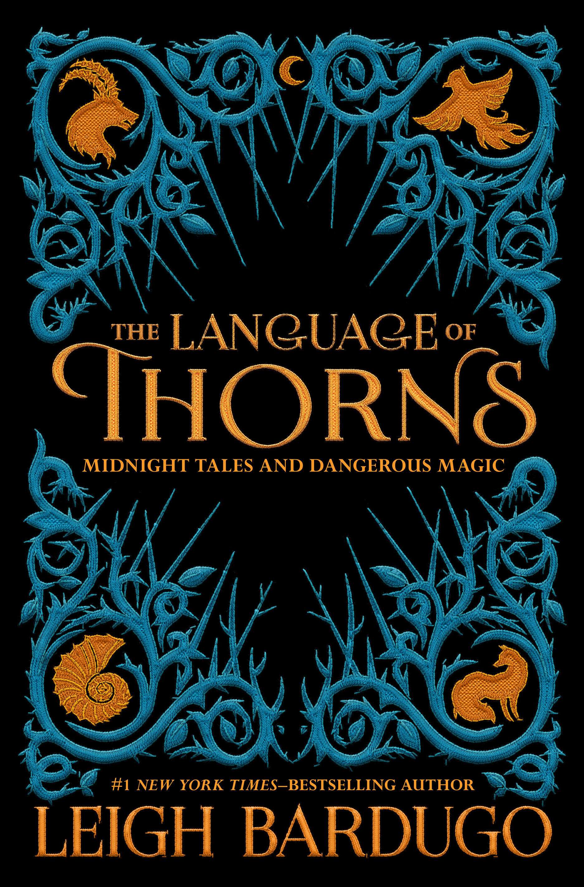
The Language of Thorns: Midnight Tales and Dangerous Magic
Leigh Bardugo

Circe
Madeline Miller

Breads & Biscuits in a Jar: Hearty Homemade Gifts (Baking Bliss Book 18)
Hazel Whitcomb
Psychology Picks
View All
A Gentle Reminder
Bianca Sparacino

Succede sempre qualcosa di meraviglioso
Gianluca Gotto

Atomic Habits: An Easy & Proven Way to Build Good Habits & Break Bad Ones
James Clear

Revenge of the Tipping Point: Overstories Superspreaders and the Rise of Social Engineering
Malcolm Gladwell
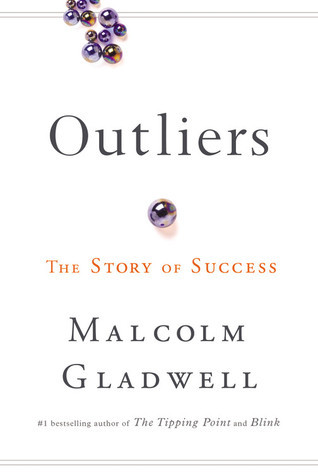
Outliers: The Story of Success
Malcolm Gladwell

Nobody Wants Your Sh*t: The Art of Decluttering Before You Die
Messie Condo
